


Implementation of geographic databases, spatial analysis, and thematic cartography for the public and private sectors.
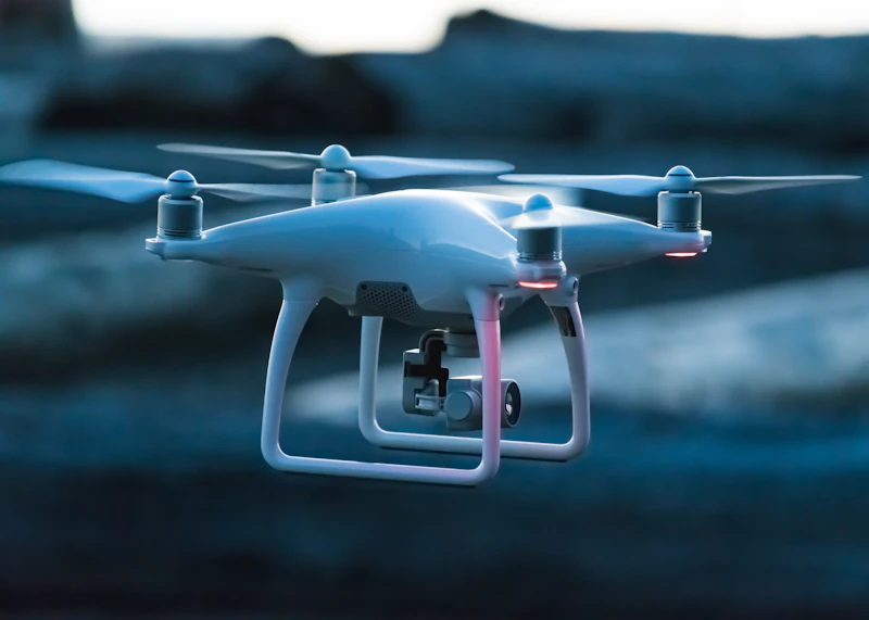
Processing drone imagery for the generation of 3D models, high-resolution orthophotos, and elevation models (DSM/DTM).

Studies on land use, urban area monitoring, and natural risk assessment through geospatial methods.
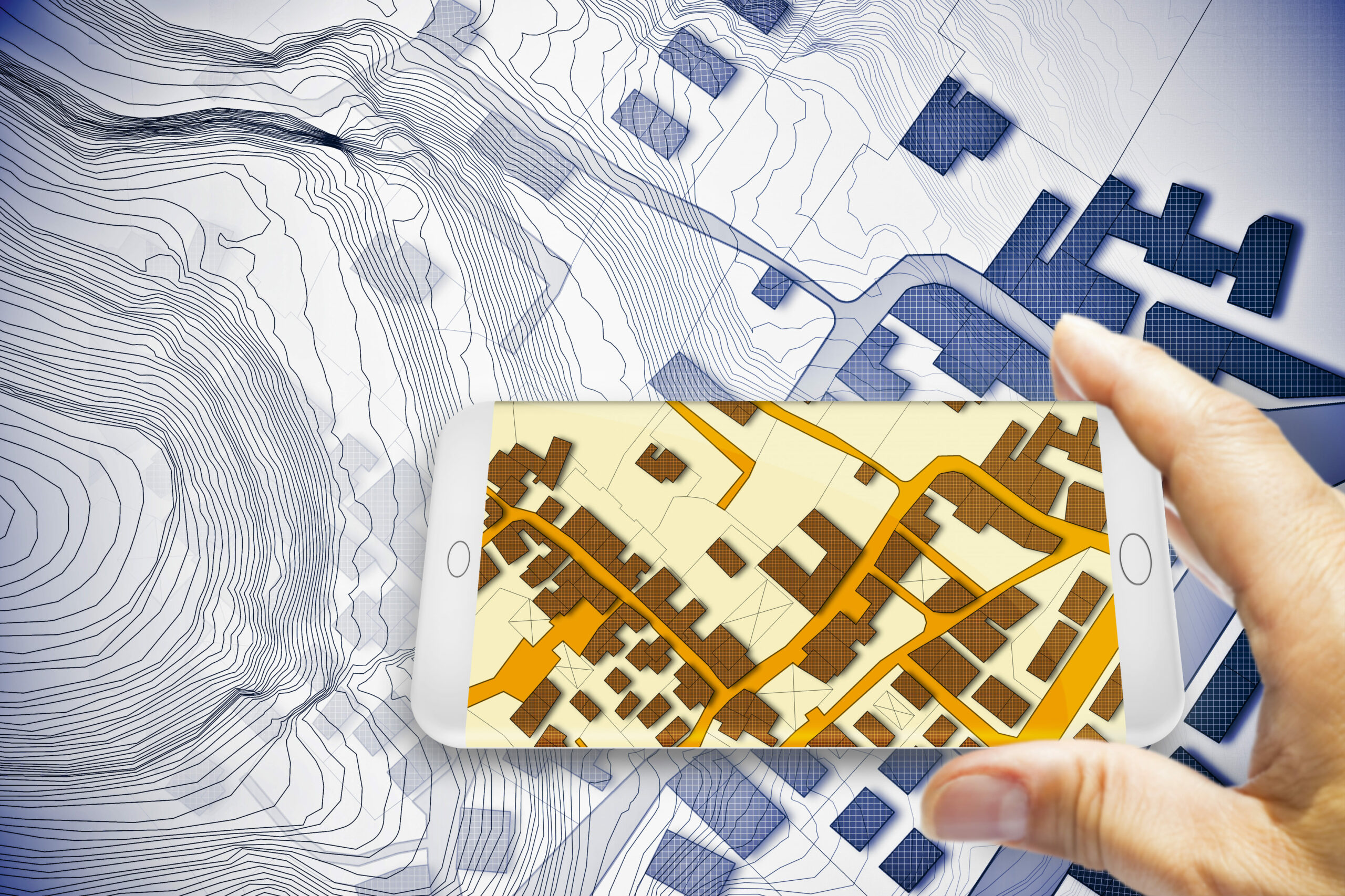
Digitization of parcels and objects, updating cadastral data, and integration into GIS platforms.

Professional assistance in selecting spatial technologies and managing infrastructure projects.

Creation of interactive maps and Web GIS applications.